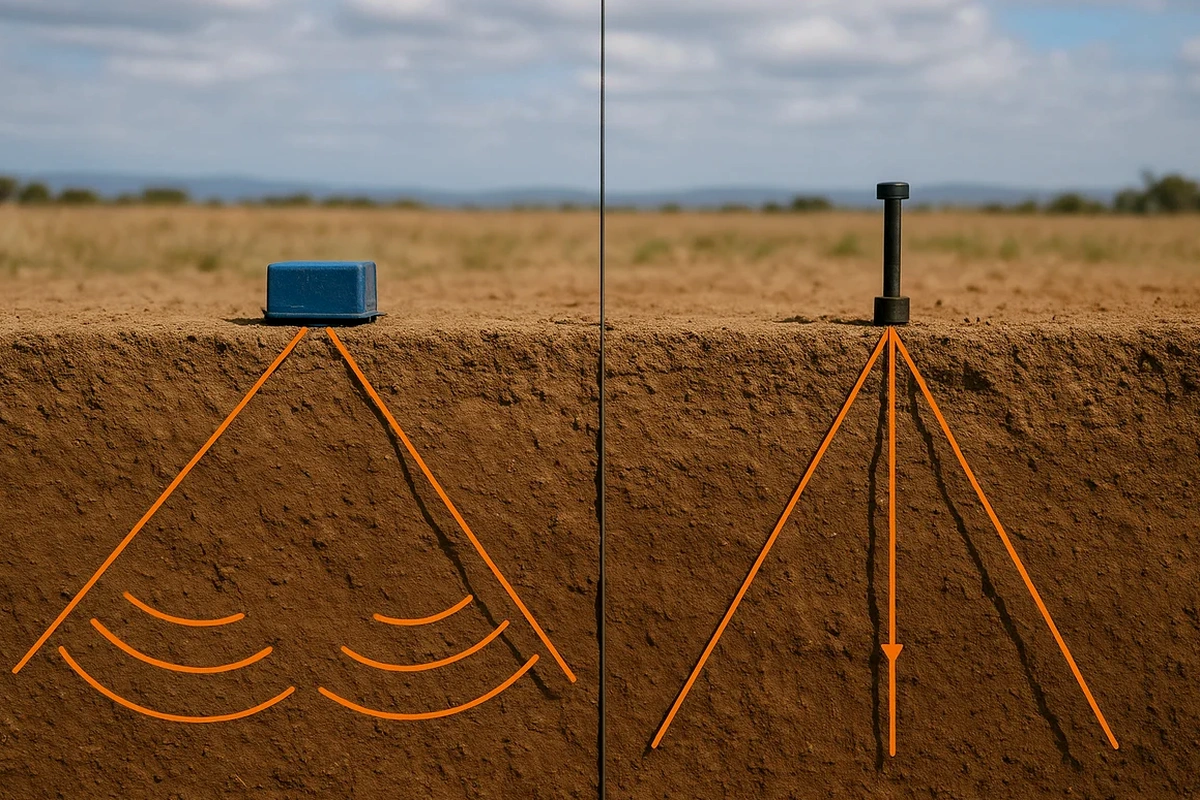
The workhorse for our Cambridge surveys is typically a 24- to 48-channel seismograph coupled with vertical geophones at 2 to 5 metre spacing. The source depends on the target depth: a 10 kg sledgehammer on an aluminum plate works well for refraction targets down to 30 m, while deeper reflection profiles demand a Betsy Seisgun or an accelerated weight drop. We set lines along the Grand River terraces and through the industrial parks near Highway 401, where the contact between overburden and Paleozoic bedrock controls everything from excavation stability to vibration propagation. Before mobilizing, we integrate the tomographic plan with intrusive data — a CPT sounding at a key tie point sharpens the velocity-to-soil-type conversion, and MASW profiling along the same spread isolates the shear-wave component that the building code requires.
A velocity tomogram converts travel times into a continuous cross-section where 1,500 m/s till and 4,000 m/s dolostone are as distinct as two different colours.
Scope of work in Cambridge Ontario
Critical ground factors in Cambridge Ontario
The glacial stratigraphy under Cambridge is anything but uniform: outwash channels filled with loose sand cut through stiff till, and the bedrock surface can undulate by 10 metres across a single city block. Failing to map these transitions leads to differential settlement, excavation blow-ins where artesian pressures exist in the lower drift, and pile toe refusals that stall the piling rig. Seismic tomography reduces that risk by delivering a continuous velocity model rather than a one-dimensional log from a spaced borehole. On a recent warehouse development near the 401, the tomogram revealed a 4-metre-thick soft silt lens that had been invisible in the borehole program. The structural engineer widened the footings and saved the column schedule from a costly redesign. For deep foundations, we often combine the velocity model with SPT drilling at select locations to calibrate N-values against the seismic velocity, which tightens the bearing capacity estimate across the entire footprint.
Our services
Every seismic survey in Cambridge is adapted to the specific question — bedrock depth, rippability, fault detection, or Vs30 classification. The following packages cover the most common requests from geotechnical and structural consultants in the Region of Waterloo.
Bedrock profiling by refraction tomography
Designed for sites 0.5 to 5 ha where the overburden-bedrock interface must be mapped continuously. We use 24-channel spreads with overlapping shots to build a velocity-depth model that highlights low-velocity zones, buried valleys, and pinnacle features in the Salina Group carbonate rock.
High-resolution reflection surveys
Applied where bedrock lies deeper than 30 m or where thin stratigraphic layers need resolution better than 1 m. We deploy single-geophone stations and a high-frequency source to capture reflections from till contacts, sand lenses, and weathered bedrock horizons.
Vs30 and site class determination
Combined P- and S-wave refraction or MASW-refraction integrated survey. The final Vs30 value feeds directly into NBCC 2020 Table 4.1.8.4.A, giving the structural engineer the site class — typically C or D in Cambridge — for seismic design forces.
Frequently asked questions
What is the typical cost range for a seismic refraction or reflection survey in Cambridge?
For a standard commercial or industrial lot in Cambridge, a seismic tomography program typically runs between CA$3,920 and CA$6,400. The final figure depends on line length, the number of shot points, and whether the job requires only P-wave refraction or a combined P- and S-wave acquisition. We provide a fixed-price proposal once we review the site geometry and the target depth.
How deep can seismic tomography see in the glacial deposits around Cambridge?
Refraction surveys with a 115-metre spread routinely reach 30 to 40 metres depth in the local till and outwash — sufficient to map bedrock across most of the city. Reflection profiles using a weight-drop source can image reflectors down to 80 metres or more, depending on acoustic impedance contrasts and background noise. For deeper targets in the Salina Group, we adjust the source energy and the spread geometry during the field setup.
Can seismic tomography detect karst features in the dolostone under Cambridge?
Yes, it is one of the primary reasons consultants request it here. Solution cavities and widened joints in the dolostone appear as localized low-velocity zones — often 800 to 1,200 m/s surrounded by rock at 3,500 m/s or higher. The tomogram shows the anomaly in plan and depth, guiding follow-up investigation with targeted borings or grouting verification. For critical structures, we recommend combining the velocity model with a targeted drilling program to confirm the nature of each anomaly.