In Cambridge, the glacial till overburden sitting atop the Guelph and Salina bedrock formations creates sharp velocity contrasts that a standard borehole log simply cannot capture. We run MASW surveys across Hespeler, Preston, and Galt to map shear wave velocity profiles for NBCC site classification. The 24-channel array picks up dispersion curves clean down to 30 metres, even where the overburden thins near the river valleys. When the Grand River floodplain deposits show low-velocity soft clays, we combine the surface wave data with seismic refraction to constrain the bedrock depth interpretation. A Class C or D assignment changes your seismic base shear by a factor of two; we deliver the Vs30 number with full traceability to ASTM D4428 procedures.
A measured Vs30 below 180 m/s puts a Cambridge site in Class E and triggers a site-specific ground motion analysis under NBCC 2020.
Scope of work in Cambridge Ontario
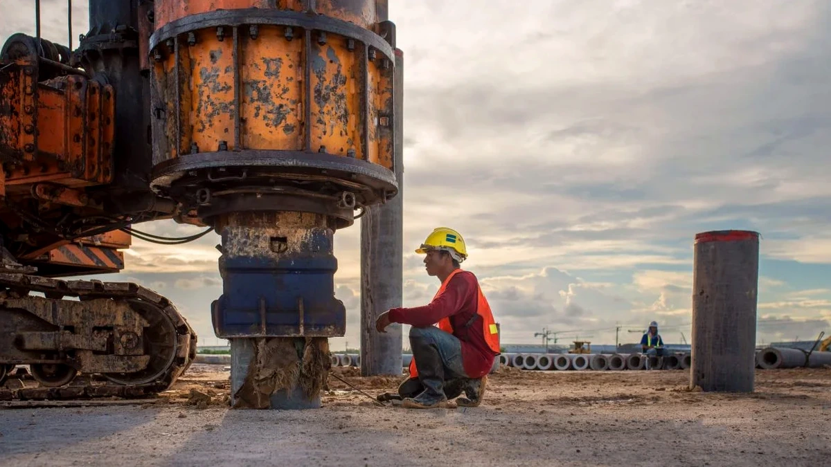
Critical ground factors in Cambridge Ontario
Cambridge sits at 329 m elevation on the western edge of the Lake Ontario basin, where the 1989 Ungava earthquake (M6.3) and the 2010 Val-des-Bois event (M5.0) reminded Ontario engineers that intraplate seismicity is real. The NBCC 2020 uniform hazard spectrum assigns a PGA of 0.06–0.08 g for the Cambridge grid cell on firm ground, but a site underlain by 12 metres of soft Speed River alluvium amplifies short-period motion well beyond the code default. We have measured Vs30 values below 160 m/s in the floodplain west of Highway 24, which triggers a Class E designation and a mandatory site-specific response analysis. A desktop Class C assumption on that same parcel underestimates spectral acceleration at 0.2 s by 40 percent. The risk compounds when the water table sits within 2 metres of grade: low Vs coupled with full saturation raises the liquefaction susceptibility index, and the MASW profile provides the input stiffness for the Idriss-Boulanger cyclic stress ratio calculation.
Our services
Our Cambridge MASW program covers the full workflow from field acquisition to the final site class letter, with two standard service packages depending on project scope.
Standard Vs30 Site Classification
One 48-metre MASW line, dispersion analysis, inversion, and a signed report with the NBCC site class. Typical for single-lot residential and light commercial projects. Turnaround: 5 business days from field work.
Multi-Line 2D Profiling
Two to four crossing arrays with 2D interpolation of Vs cross-sections. Used for irregular stratigraphy, slope stability investigations, or when the building footprint exceeds 30 metres. Includes a liquefaction screening overlay if the water table is encountered.
Frequently asked questions
How much does a MASW survey cost for a standard residential lot in Cambridge?
For a single-family lot with one MASW line and the NBCC site class report, the range is CA$1,960 to CA$2,800 depending on access conditions and travel time from the lab. Multi-line commercial surveys run between CA$3,200 and CA$4,180. All quotes include field crew, equipment, dispersion processing, inversion modelling, and the signed PDF report.
How long does the field work take, and what kind of surface do you need?
A single 48-metre line takes about 90 minutes on site. We need a reasonably flat strip of ground—grass, gravel, or asphalt all work. Heavy bush or standing water will block the geophone coupling. The crew flags the array and clears a 60-metre corridor before shooting. If the lot is smaller than 48 metres, we can reduce the spread to 24 metres, though the maximum resolved depth drops to roughly 15 metres.
What is the difference between a measured Vs30 and the NBCC default site class?
NBCC 2020 assigns Site Class C (Vs30 between 360 and 760 m/s) as the default when no site-specific data exists. A measured Vs30 often reveals softer conditions in Cambridge: glacial Lake Maumee silts and clays can push a site into Class D or E, which increases the design spectral acceleration. The code requires a measured value for Class E and F sites, and many structural engineers request it for Class D to avoid over-conservative foundation costs. The measurement replaces the default with a defensible number backed by the dispersion curve and inversion record.